GEOGRAPHY & CLIMATE
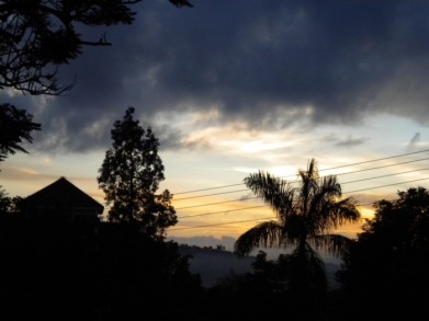
Morning in Uganda
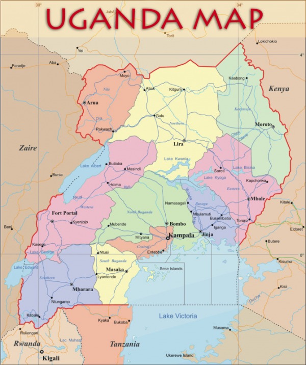
Uganda is a tropical country in Eastern Africa. Although Uganda is landlocked, it is bordered to the south by Lake Victoria and contains the source of the Nile River. Other neighbors include Kenya to the east, Sudan to the north, Democratic Republic of the Congo to the west, and Rwanda and Tanzania to the south. The equator runs just south of the country’s capital, Kampala. Uganda’s unique mix of equatorial latitude, altitude and distance from the sea contribute to the vast biological diversity found throughout the country. The country is mountainous along both the eastern and western borders, with dense forest in the low-lying regions. The northeastern region is semi-arid but the rest of the country is very fertile.
Uganda’s climate is typically rainy, with two dry seasons from December to February and June to August. Average rainfall during the rainy Nile River season is 175 mm per month. The hottest months are December to February, when temperatures average 27 to 29 degrees Celsius (81 to 84 degrees Fahrenheit). Otherwise, temperatures average 26 degrees Celsius (79 degrees Fahrenheit) during the day and 16 degrees Celsius (61 degrees Fahrenheit) at night. Temperatures are considerably cooler in the mountainous areas of Uganda’s far east and far west.
Uganda’s climate is typically rainy, with two dry seasons from December to February and June to August. Average rainfall during the rainy Nile River season is 175 mm per month. The hottest months are December to February, when temperatures average 27 to 29 degrees Celsius (81 to 84 degrees Fahrenheit). Otherwise, temperatures average 26 degrees Celsius (79 degrees Fahrenheit) during the day and 16 degrees Celsius (61 degrees Fahrenheit) at night. Temperatures are considerably cooler in the mountainous areas of Uganda’s far east and far west.